EAST FALLS.
The East Falls commercial district — the mainland eastern riverfront portion of today’s Nicollet Island and East Bank neighborhoods — is among the oldest continuously developed urban areas in Minneapolis.
Situated directly along the east side of St. Anthony Falls, the district emerged in the mid-nineteenth century as part of the original settlement patterns surrounding the Mississippi River’s only major natural waterfall. Long before Minneapolis became a major city, the area around present-day Hennepin Avenue, Central Avenue, and Main Street SE developed as a center of river commerce, industry, transportation, and early urban life. Its proximity to the falls made the district a strategic location for sawmills, warehouses, machine shops, workers’ housing, and commercial activity tied to the rapidly expanding milling economy.
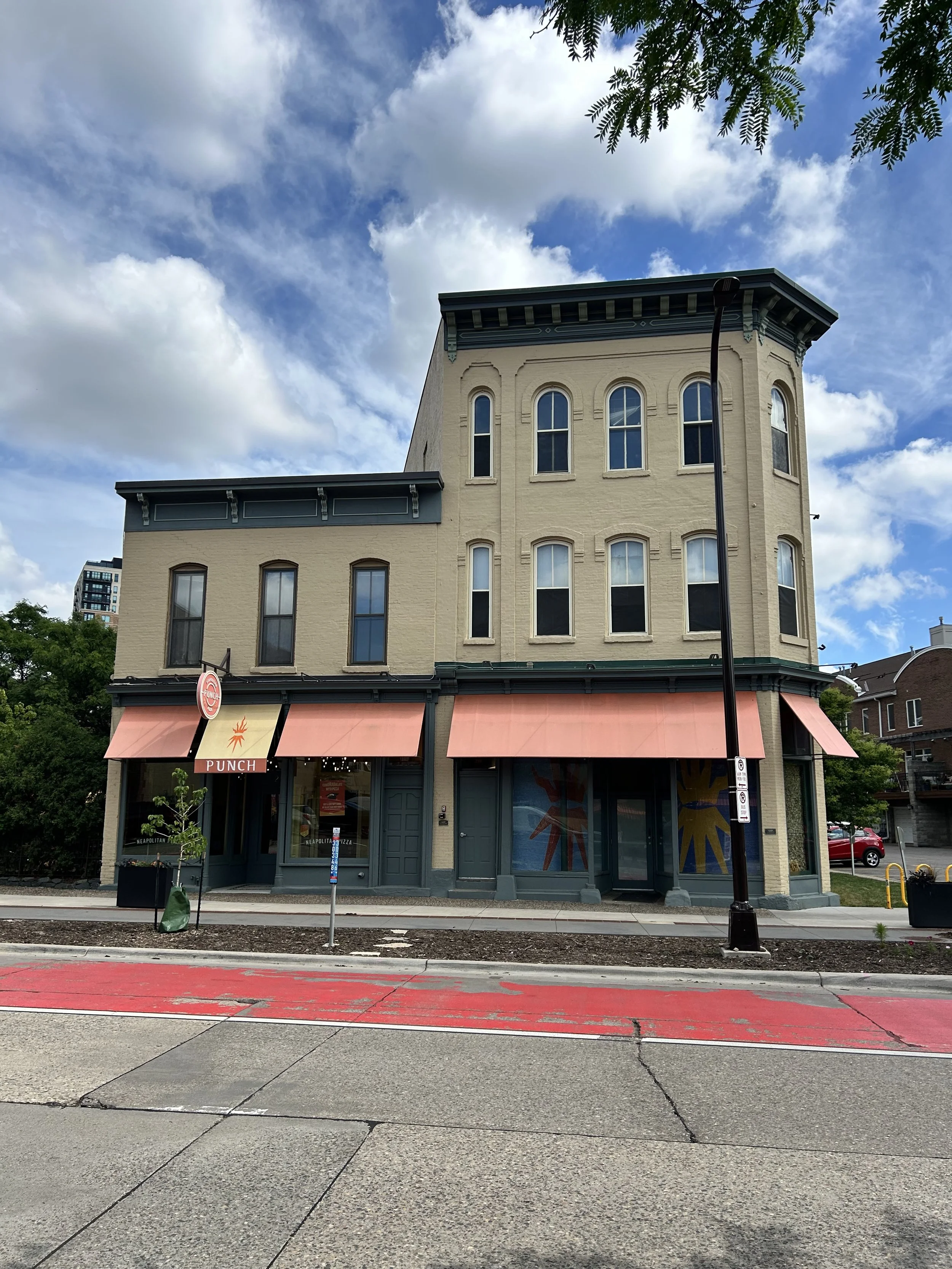
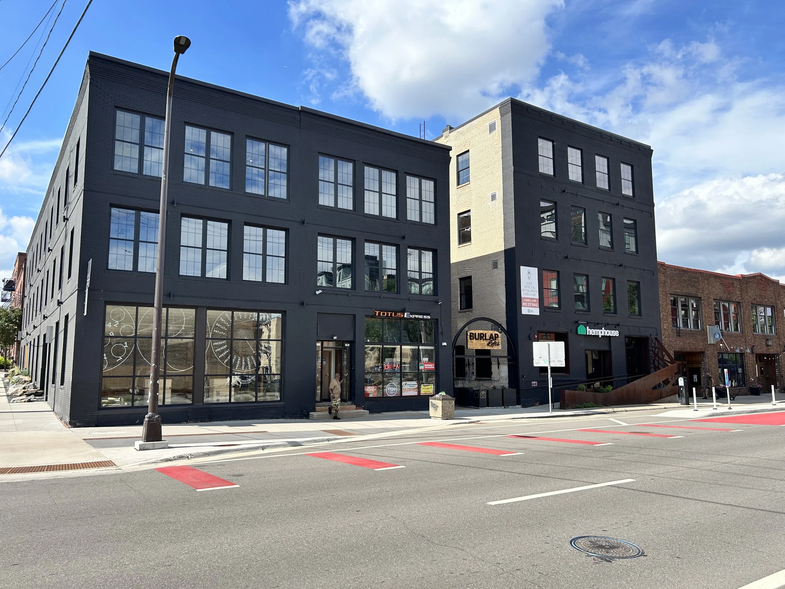
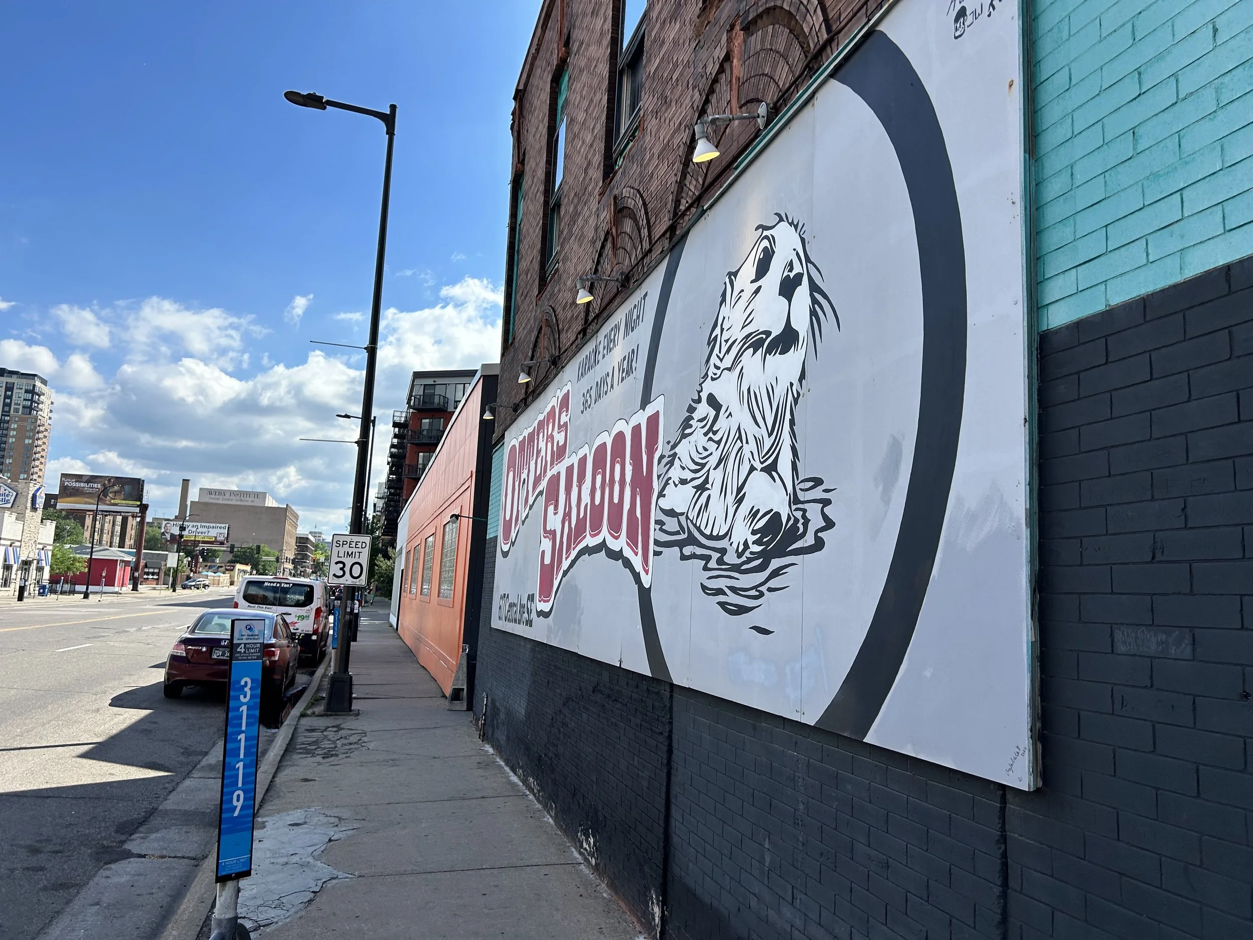
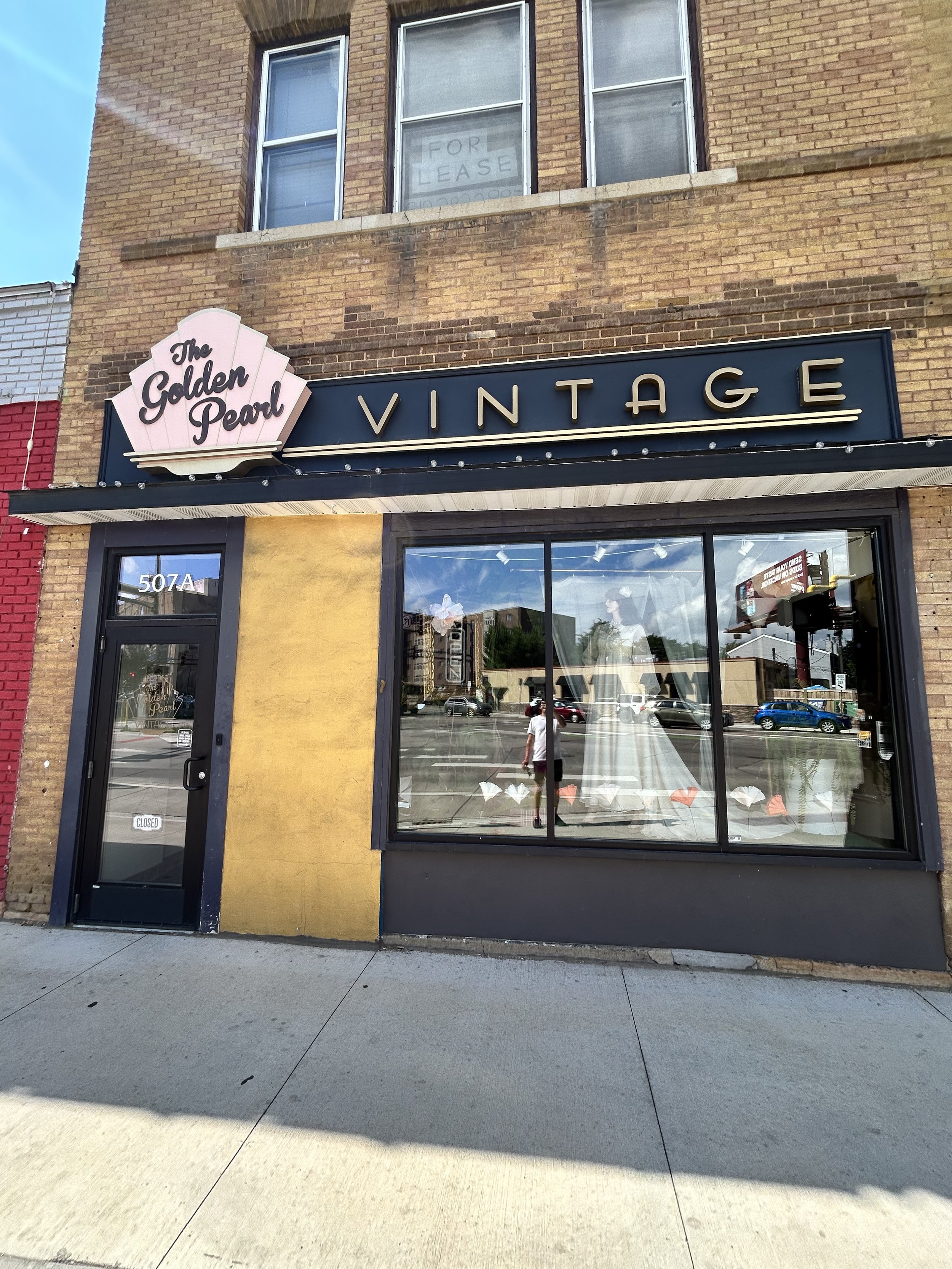
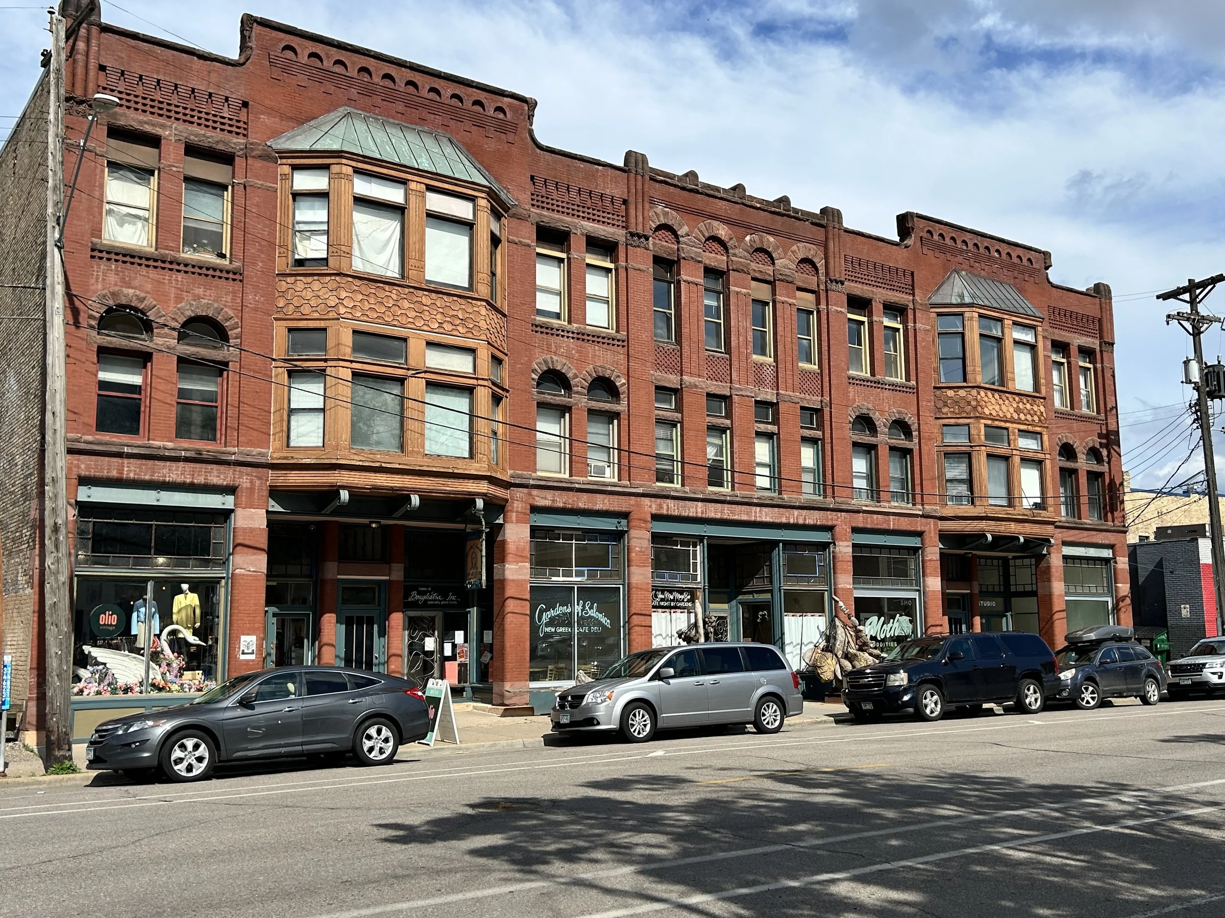
During the nineteenth century, the district formed part of the original town of St. Anthony, which predated the City of Minneapolis itself. The east riverfront became heavily shaped by industrial growth, rail infrastructure, and riverfront commerce, with commercial buildings and warehouses constructed to serve nearby mills and manufacturing operations. Hennepin Avenue emerged as an important commercial corridor connecting downtown Minneapolis to Northeast Minneapolis and the developing neighborhoods east of the river. At the same time, nearby Main Street SE and Central Avenue supported hotels, saloons, wholesalers, small retailers, and transportation-related businesses serving workers and travelers moving through the riverfront district. The architecture that survives today — including brick commercial structures, industrial loft buildings, and former warehouse spaces — reflects this era of rapid industrial and commercial expansion.
By the early twentieth century, the area had evolved into a dense urban district closely connected to downtown Minneapolis while maintaining a distinct east-side identity. Streetcars, railroads, and bridge connections made the district one of the city’s key transportation crossroads. Industrial uses remained dominant along portions of the riverfront, while nearby commercial corridors increasingly served both workers and residents. Over time, however, changing industrial patterns and postwar suburbanization led to periods of decline. Many older industrial and warehouse buildings became underutilized by the mid-twentieth century, and portions of the riverfront faced uncertainty as manufacturing activity diminished. Unlike many other urban districts, however, substantial portions of the historic building stock survived demolition and large-scale urban renewal efforts.
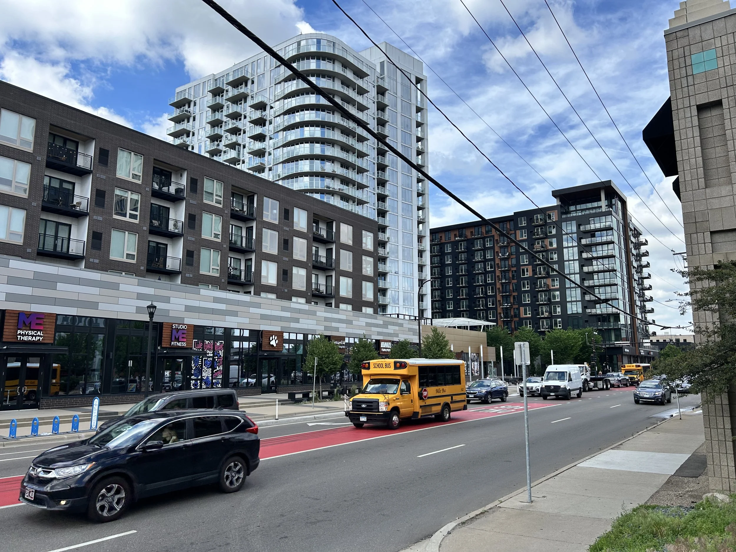
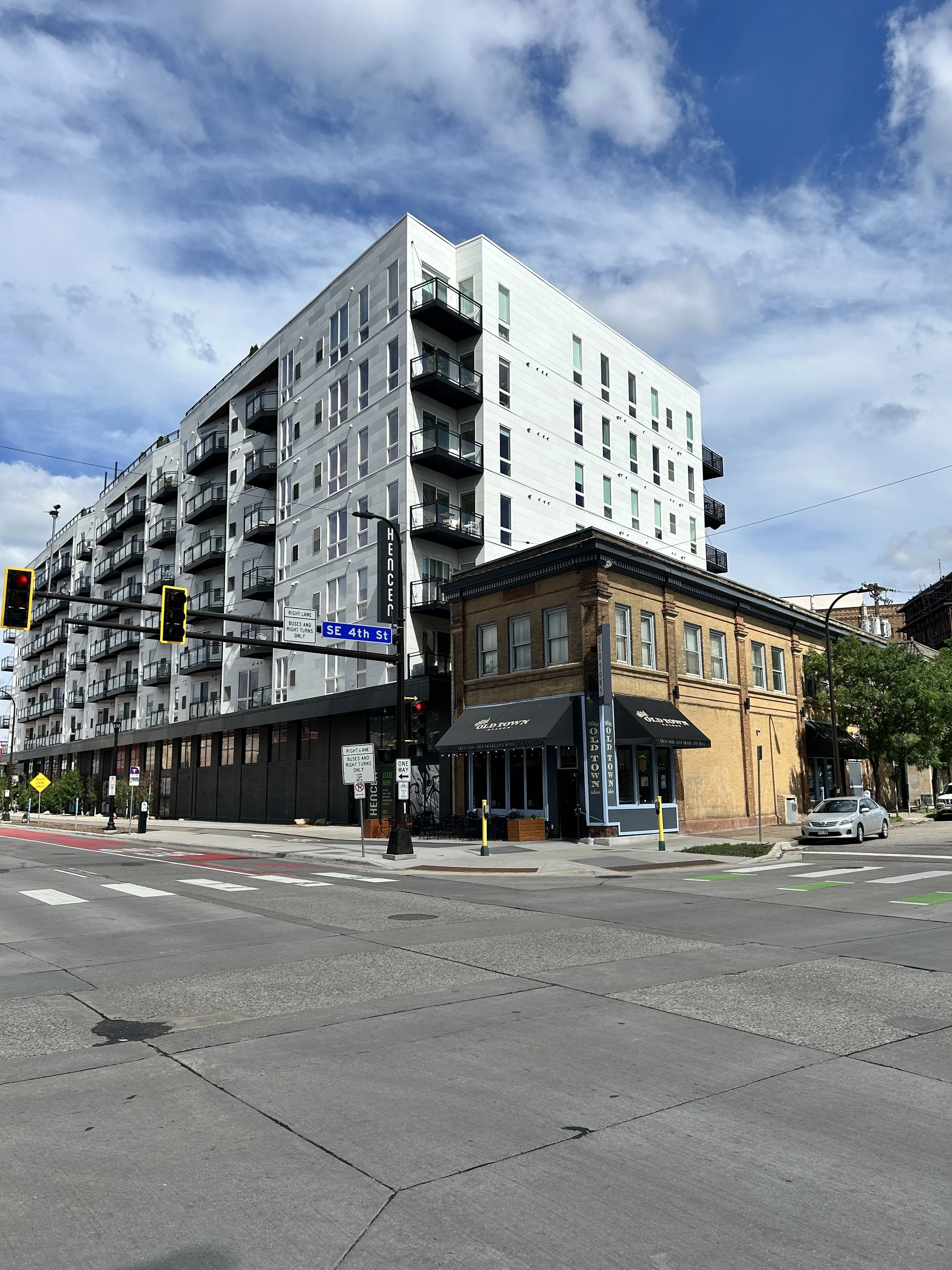
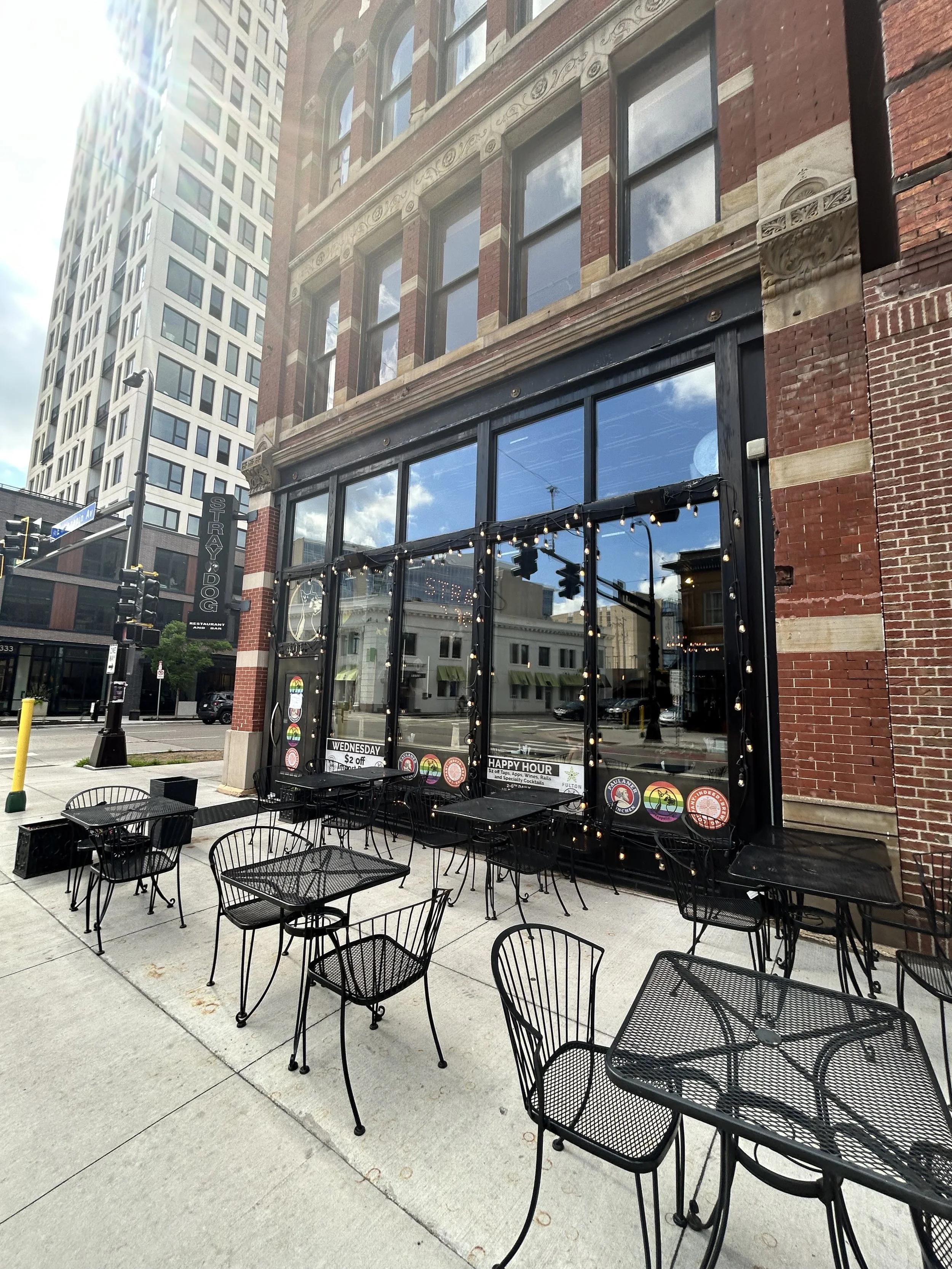
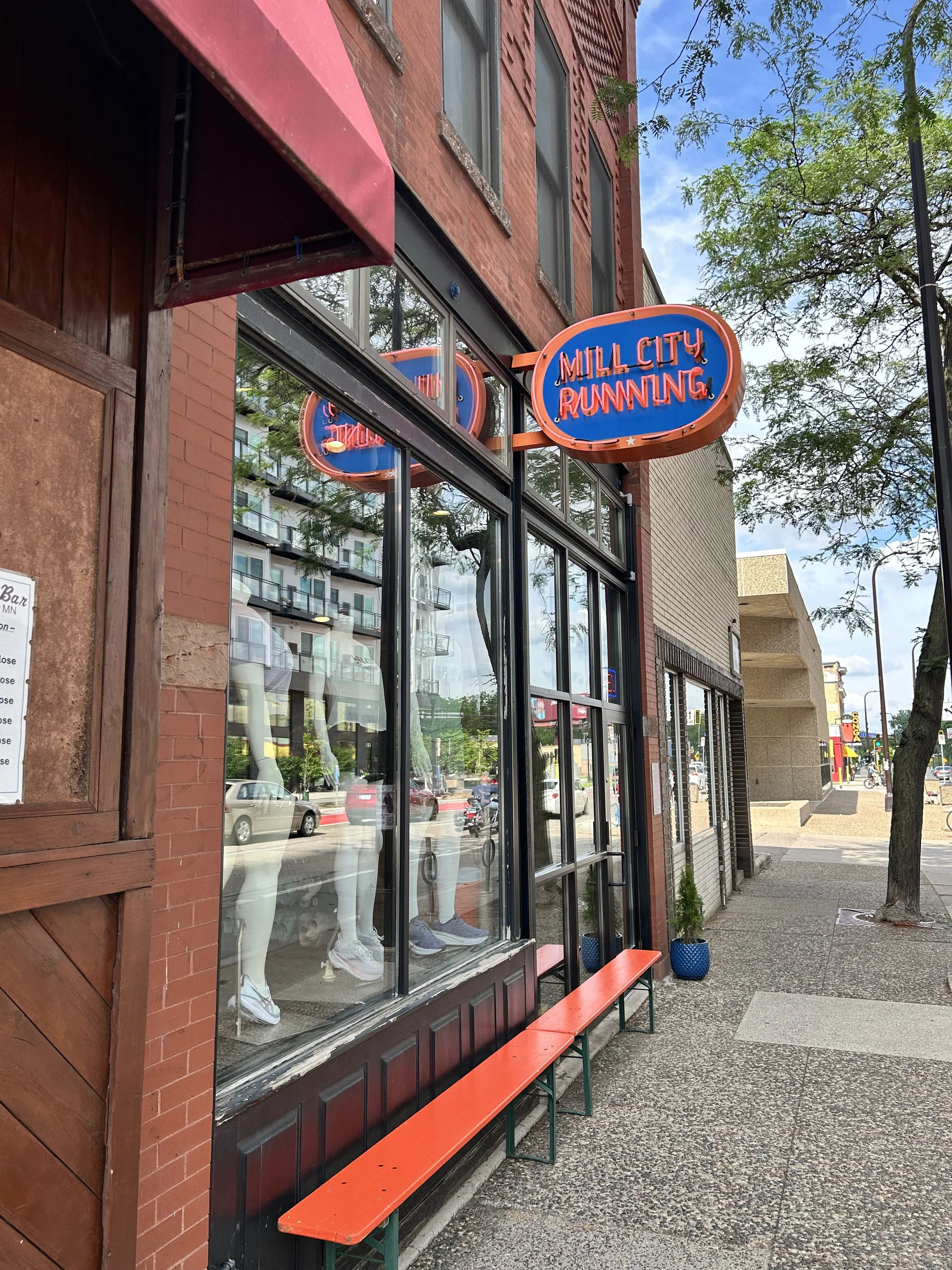
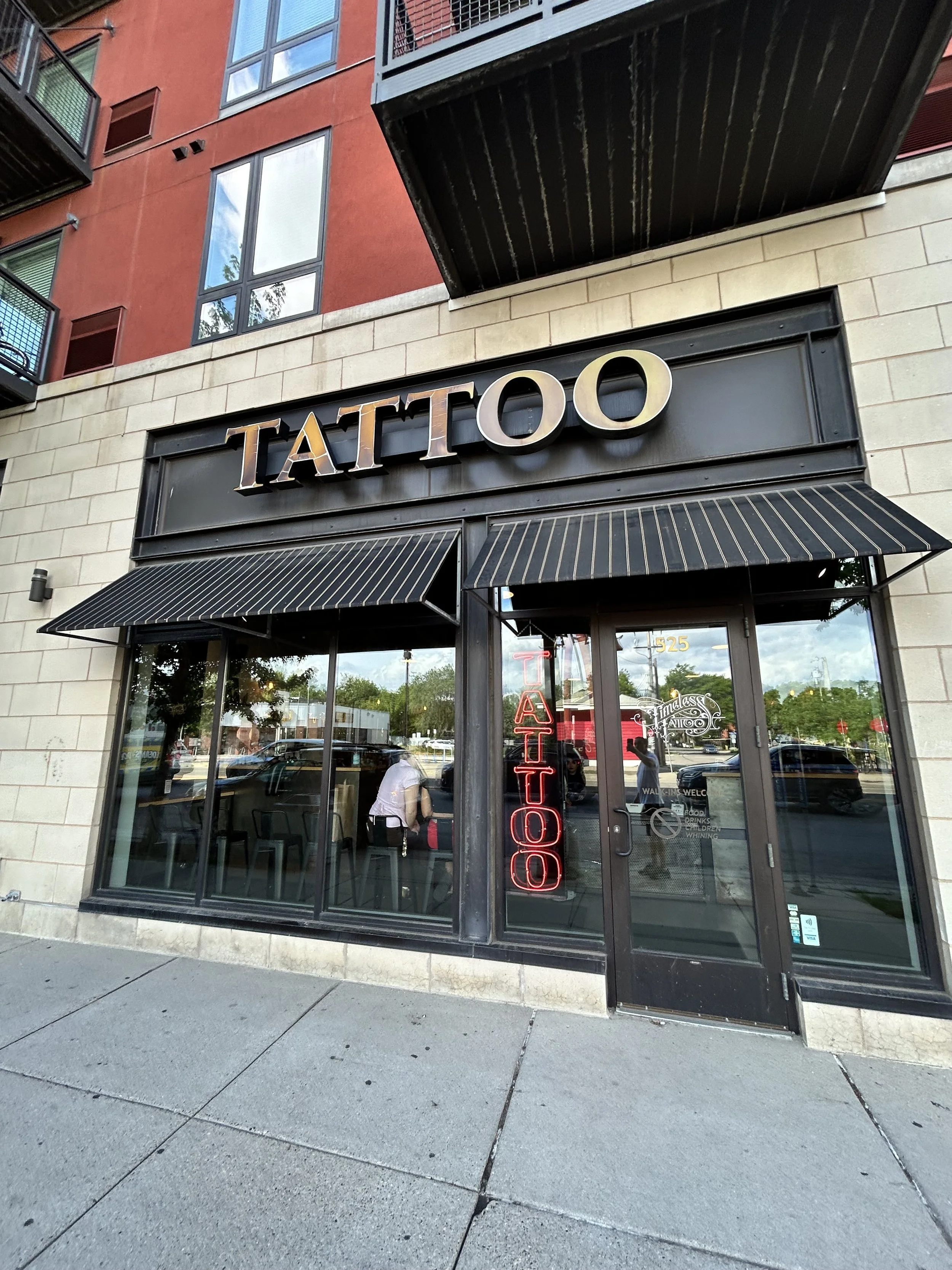
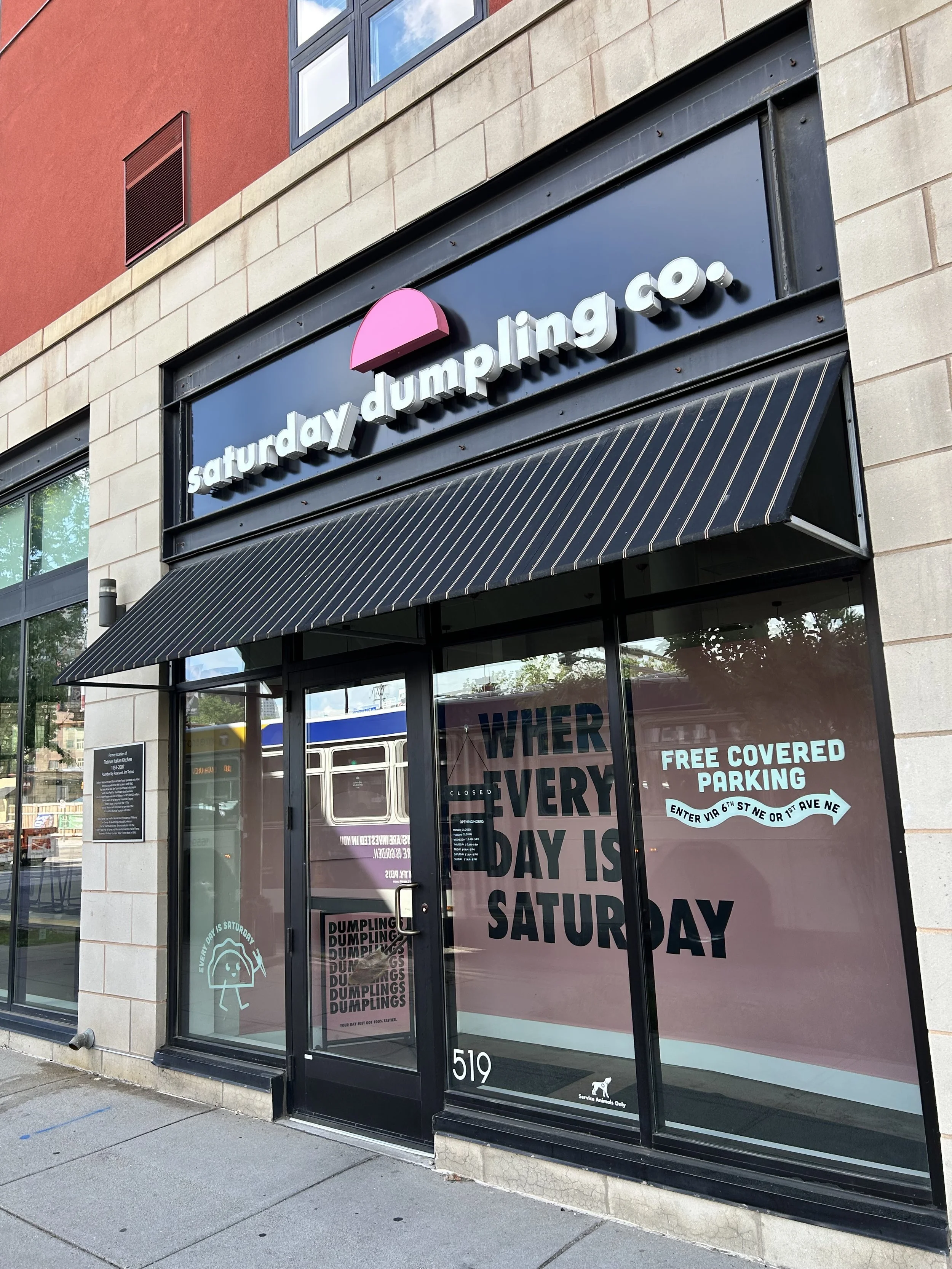
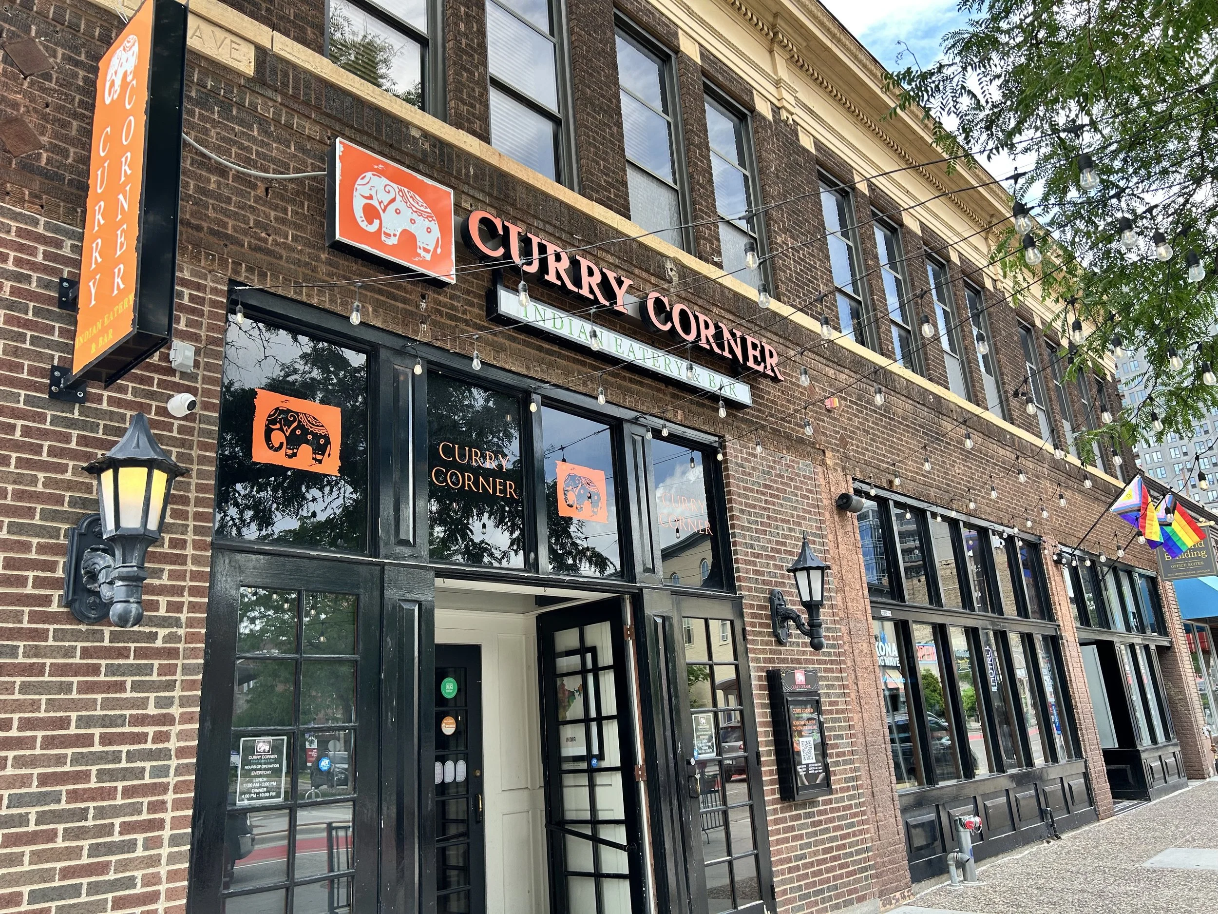
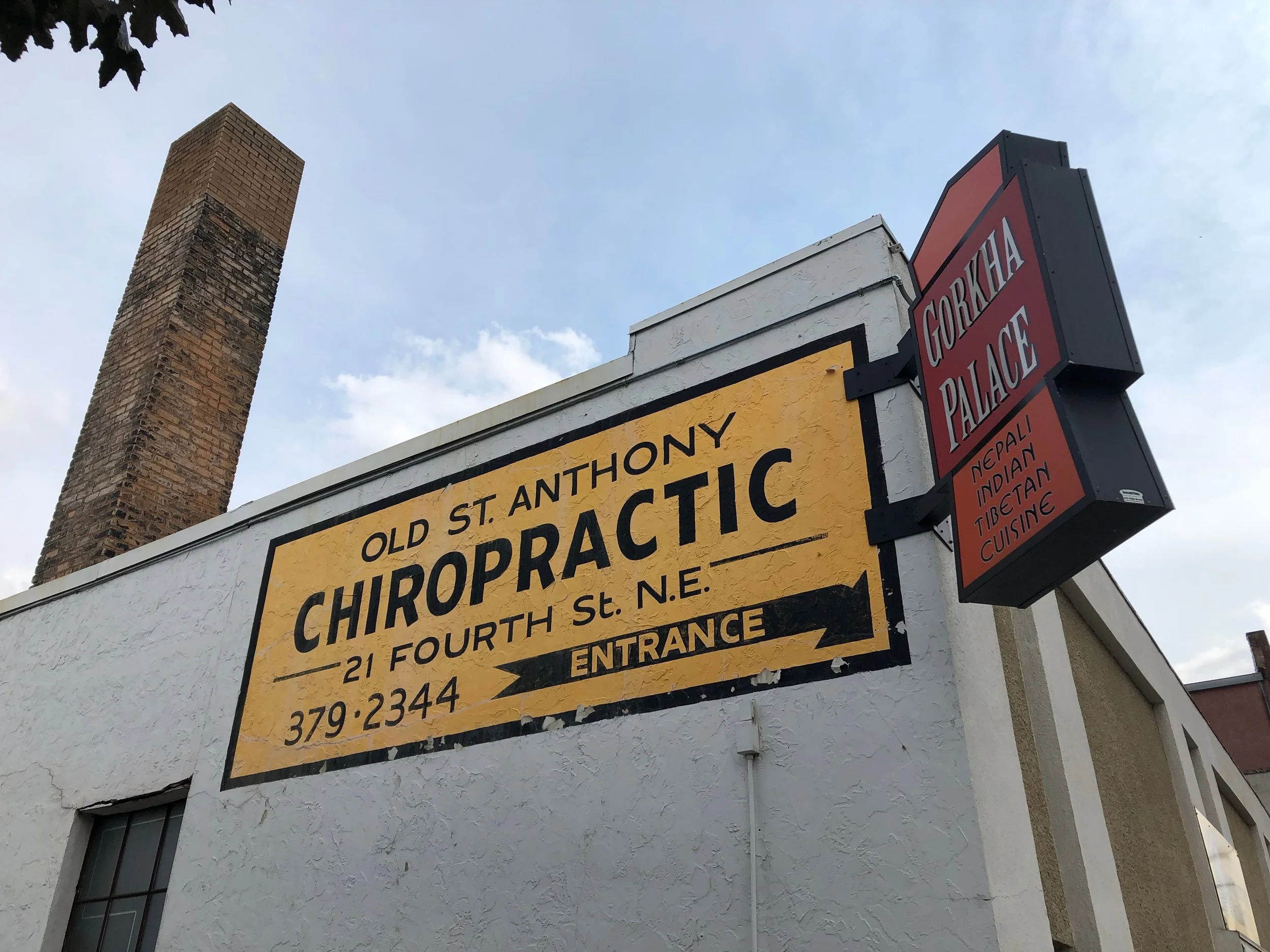
Beginning in the 1970s and accelerating through the 1990s and 2000s, the east riverfront experienced a major period of reinvestment and adaptive reuse. Historic industrial and warehouse buildings were converted into offices, restaurants, creative spaces, hotels, and housing, while the nearby riverfront trail system and preservation of the St. Anthony Falls Historic District helped transform the area into a major destination. The district increasingly blended historic character with new residential and commercial development, creating one of Minneapolis’ most distinctive urban environments. Restaurants, cafés, hospitality businesses, creative firms, and riverfront destinations helped redefine the area while preserving much of its nineteenth-century architectural identity. The nearby Stone Arch Bridge, Father Hennepin Bluff Park, and riverfront trails further strengthened the district’s role as a gateway between downtown, Northeast Minneapolis, and the University area.
Today, the East Falls district represents a unique blend of historic riverfront character, walkable urban form, and modern reinvestment. While deeply connected to the broader East Bank and riverfront areas of Minneapolis, the district maintains its own identity shaped by the falls, the river, and the city’s earliest commercial and industrial development. Its historic architecture, proximity to downtown, access to regional trail systems, and concentration of restaurants, hospitality, and creative businesses continue to make it one of Minneapolis’ most dynamic urban districts. Reintroducing the district publicly as “East Falls” also reconnects the area to the geographic feature that gave rise to Minneapolis itself: St. Anthony Falls and the historic east riverfront surrounding it.